Map KeyHide Key >>
 ‘A’/Main Road
 ‘B’/Busy Road
 Open Space
 Rivers,Lakes,Streams
 BCA Estate
 Points of Interest
 Woodlands / Park
 Parking
 Ring of Trees Walk
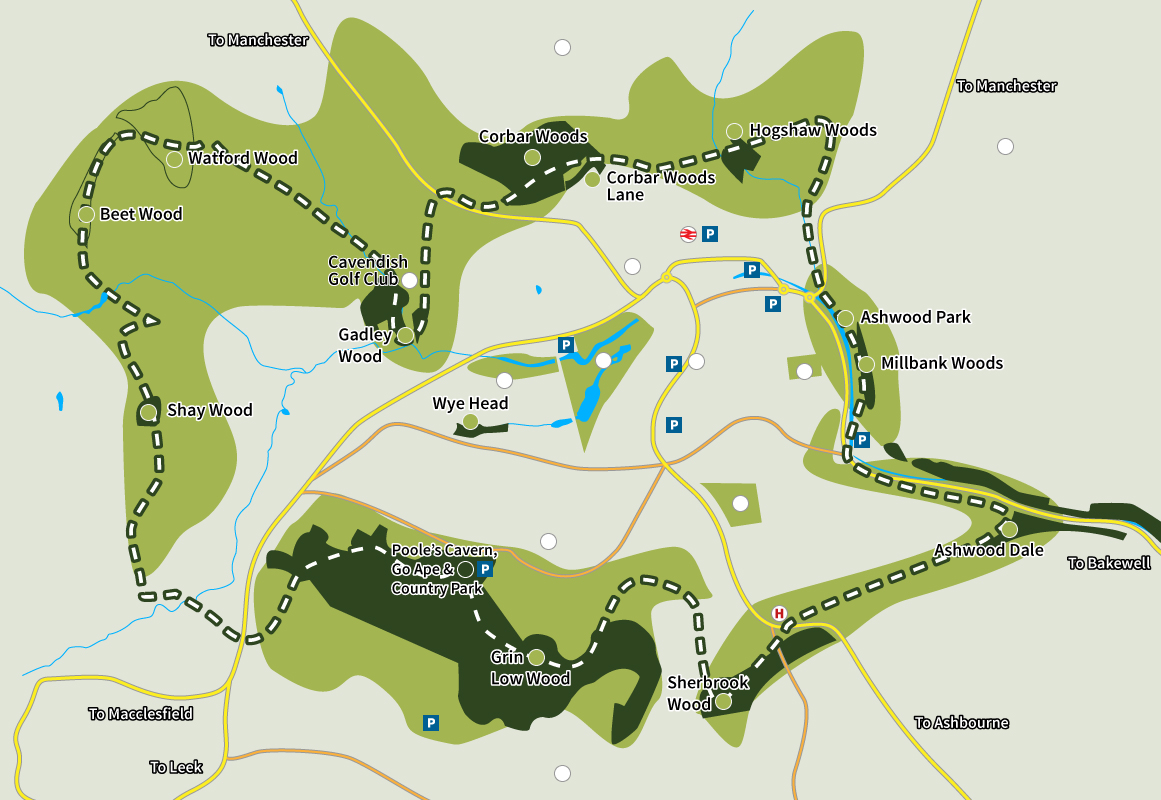

Shay Wood
- Dogs Welcome
- Spectacular Views
- 2.2 Acres
Plex Farm (originally Pleck’s Farm) was the home of Ivor Morten, OBE, JP, BSc. Educated at Repton School and The University of Wales (Bangor), Ivor Morten was subsequently elected a Fellow of the Royal Zoological Society, chaired the Board of the Peak District National Park, and also the Board of the Buxton Civic Association.
Post code SK17 6UP
Latitude 53.259975
Longitude -1.9477630

Gadley Wood
- Dogs Welcome
- Stepping Stones
- Adjacent Golf Club
- 7 Acres
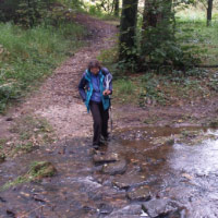
Gadley wood’s and Brickyard Plantation has extensive plantation links to the Serpentine Walks and it has a mixture of mature broadleaved trees and conifers as well as younger, smaller trees such as rowan and a sprinkling of recently planted saplings. Stream with stepping stones and pond in woodland glade.
Post code SK17 6XD
Longitude 53.259769
Latitude -1.9284104

Poole’s Cavern, Grin Low Woods & Country Park
- Cafe (Free Wifi)
- Playground
- Visitor Centre
- Poole’s Cavern
- Go Ape
- Dogs Welcome
- 100 Acres
Grin Woods are the largest of the woodlands in the care of the Buxton Civic Association. Covering the Southern flanks of Buxton and rising to almost 1400 ft/425m above sea level, the woods cover an area of just over 100 acres.
Post code SK17 9DH
Longitude 53.250309
Latitude -1.9266727

Wye Head
- Dogs Welcome
- 1.3 Acres
The only path through Wye Head wood provides a link between Macclesfield Road and the Lismore Estate built in the 1980-90s. This is a wide track suitable for wheelchairs, buggies and bicycles which is maintained by the Borough Council.
Grin Low Woods & Country Park
- Cafe (Free Wifi)
- Playground
- Visitor Centre
- Poole’s Cavern
- Go Ape
- Dogs Welcome
- 100 Acres
Grin Woods are the largest of the woodlands in the care of the Buxton Civic Association. Covering the Southern flanks of Buxton and rising to almost 1400 ft/425m above sea level, the woods cover an area of just over 100 acres.
Post code SK17 6UJ
Longitude 53.243179
Latitude -1.9381181

Corbar Woods
- Dogs Welcome
- Magnificent Bluebell Area
- 54 Acres

Corbar Woods are particularly interesting local woods in two respects: they contain the only semi natural ancient woodlands in Buxton, and had popular and fashionable Victorian Walks probably designed by Sir Joseph Paxton. Partly wheelchair accessible. Access to Corbar Cross.
Post code SK17 6RH
Longitude 53.263393
Latitude -1.9200391

Corbar Woods Lane
- Dogs Welcome
- Magnificent Bluebell Area
- 54 Acres
Corbar Woods are particularly interesting local woods in two respects: they contain the only semi natural ancient woodlands in Buxton, and had popular and fashionable Victorian Walks probably designed by Sir Joseph Paxton. Partly wheelchair accessible. access to Corbar Cross.
Hogshaw Woods
- Dogs Welcome
- 2.75 Acres
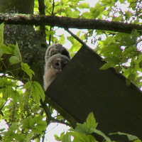
Hogshaw Wood is a small plantation on the steep side of Hogshaw Brook where it cuts through the belt of shale which runs right across the north side of Buxton. The marshy margins of the brook are of especial ecological interest.
Post code SK17 7AX
Latitude 53.264400
Longitude -1.9085832

Sherbrook Wood
- Dogs Welcome
- 8 Acres
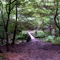
Sherbrook Wood, a shallow valley running south-west/north–east, lies on Bee Low limestone with an edge of Lower Miller’s Dale lava visible on its north western edge. A stream runs through, dry in the summer months. Small disused quarry on the east side of the wood, badger set.
Post code SK17 9RY
Latitude 53.245708
Longitude -1.9023589

Ashwood Park
- Food & Drink
- Playground
- Dog Bins Available
- 14 Acres
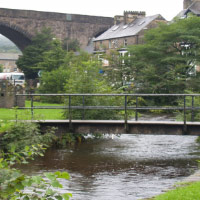
The Park in Ashwood Dale, laid out in 1921, would once have been filled with visitors, socialising as they “perambulated”, some even going further to see the wonder of Lovers’ Leap.

Millbank Woods
- No Access
- 1.7 Acres
- Adjacent facilities in Ashwood Park:-
- Food & Drink
- Playground
- Dog Bins Available
- River
- Tennis courts
- Parking
There is no access to Millbank Woods. They cover a small area adjacent to Ashwood Park.
Post code SK17 7DJ
Longitude 53.259537
Latitude -1.9058802
Ashwood Dale
- View of Lovers Leap
- Access from the sharp bend on Duke’s drive
- Stream runs through
- Wooded steep sided limestone gorge
- 14.46 acres
Deep steep sided tree lined gorge.