News and Events

We love to hear about your experience and see your photographs through the seasons. Don't forget to follow us on Facebook and share our pages. We know we've done a great job when you've had a fantastic day out!

Panoramic Guide to view from Solomon’s Temple

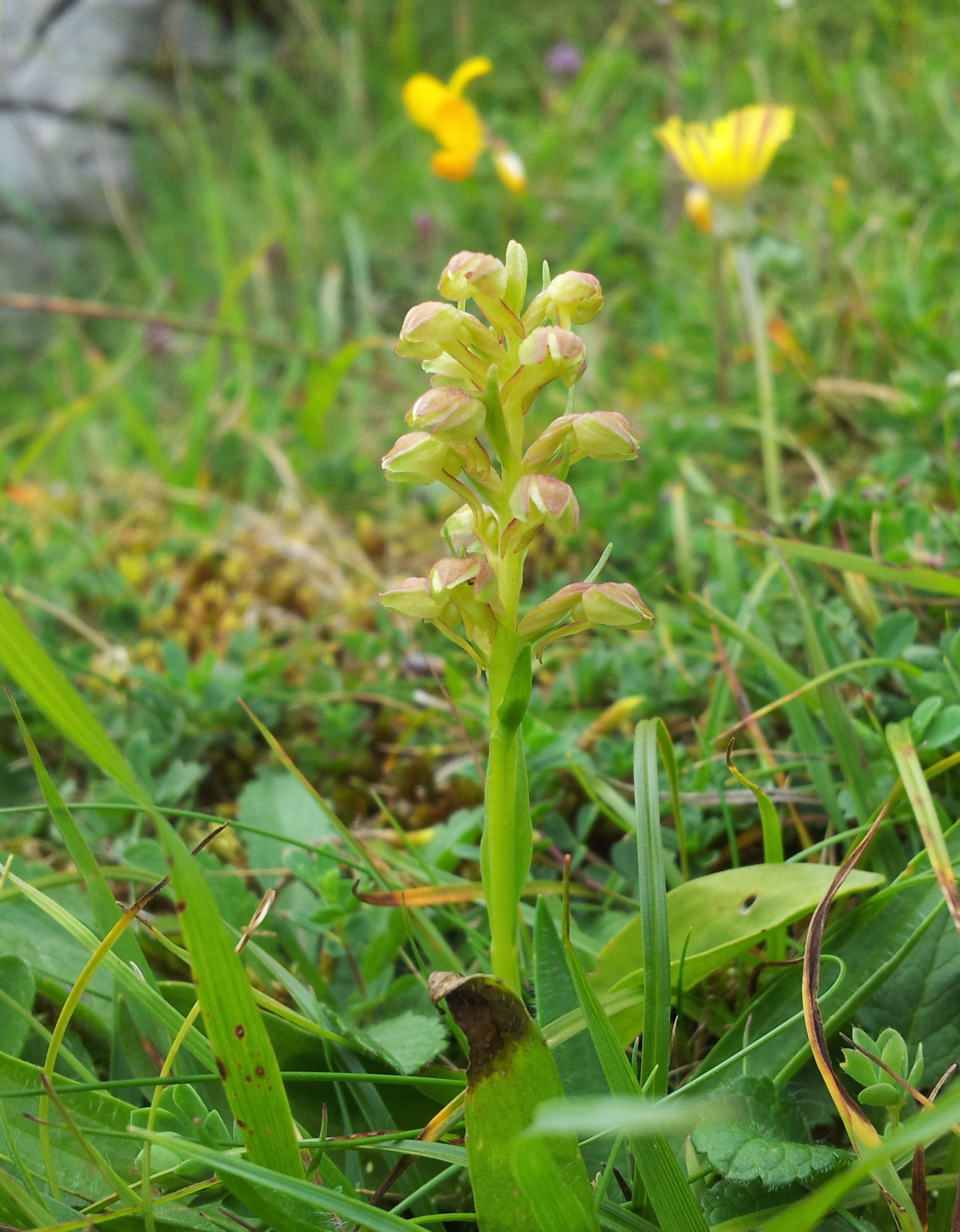
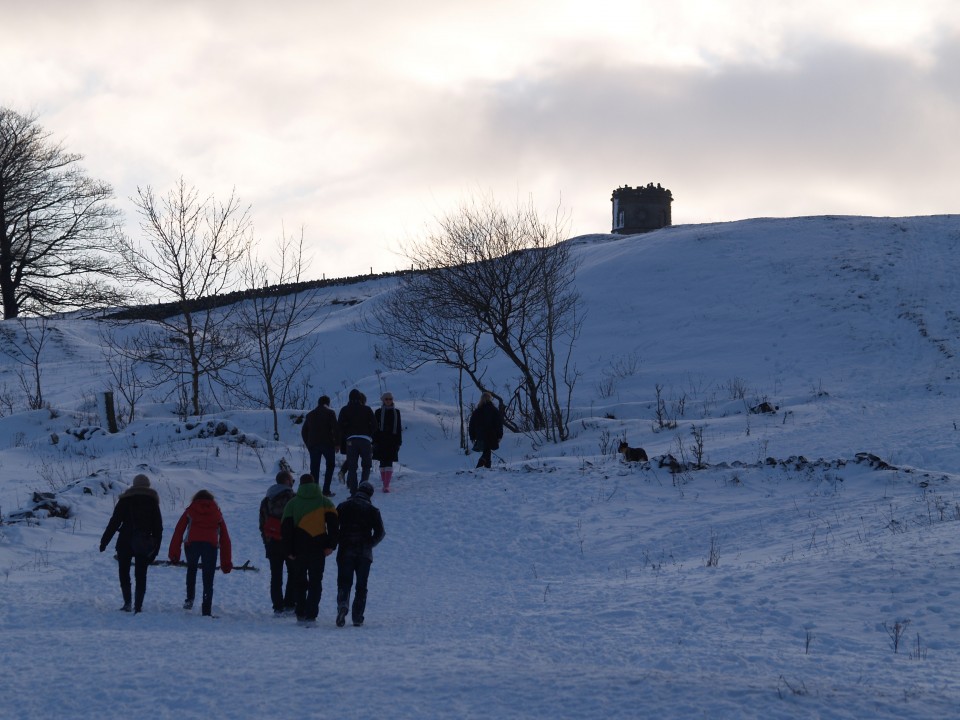
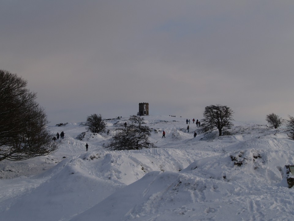
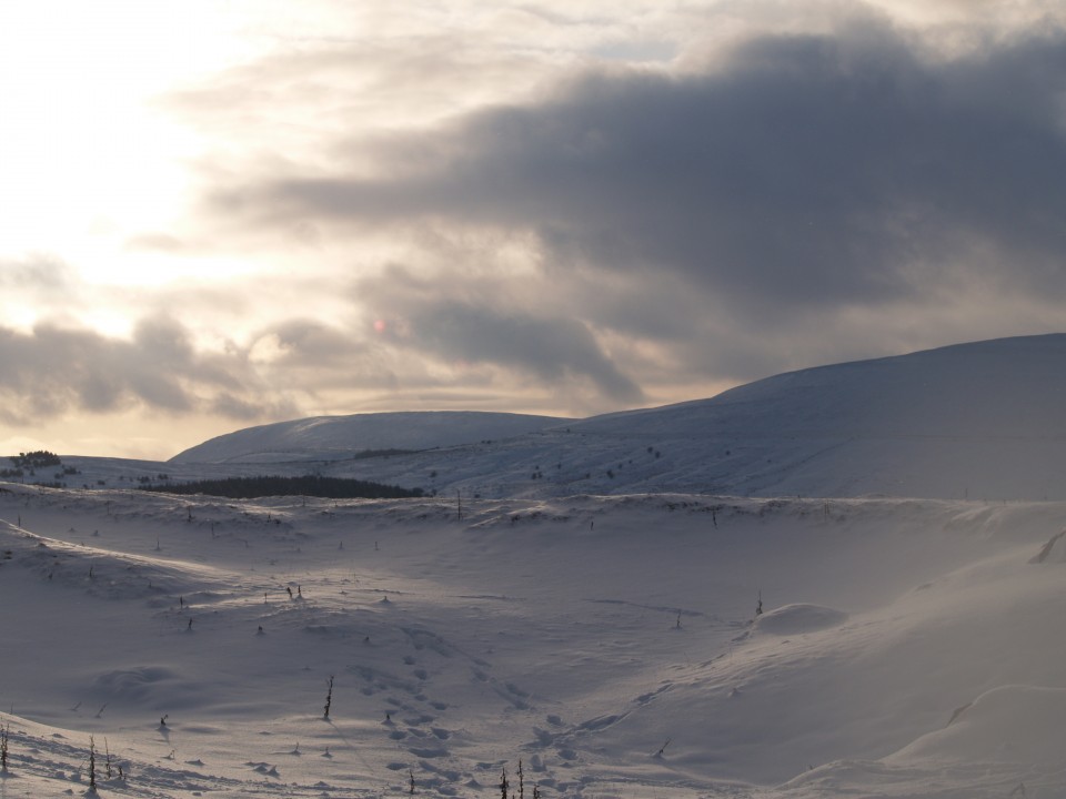
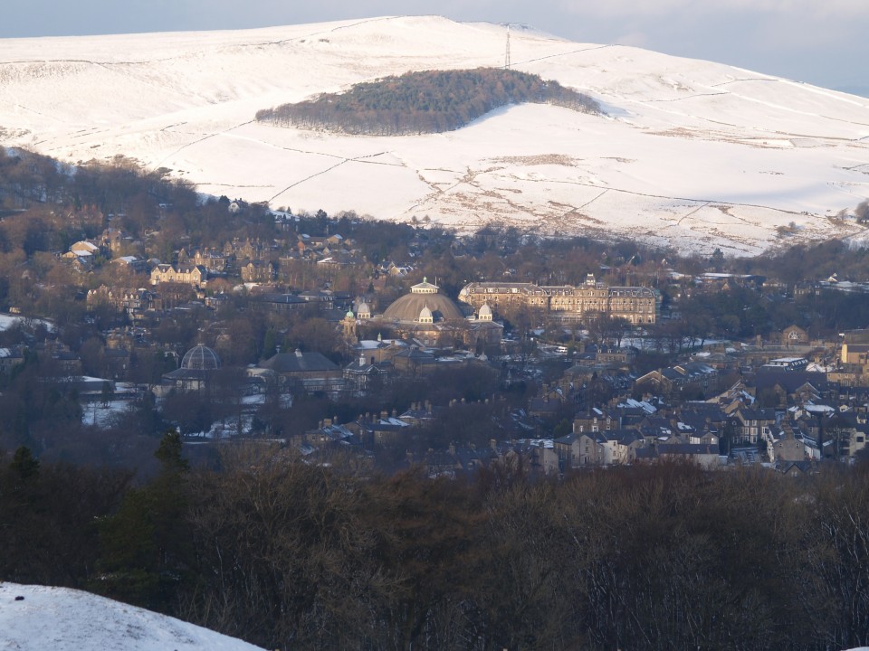
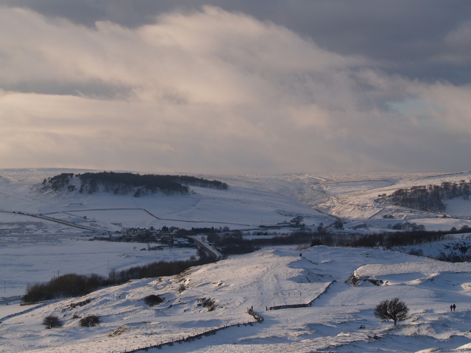
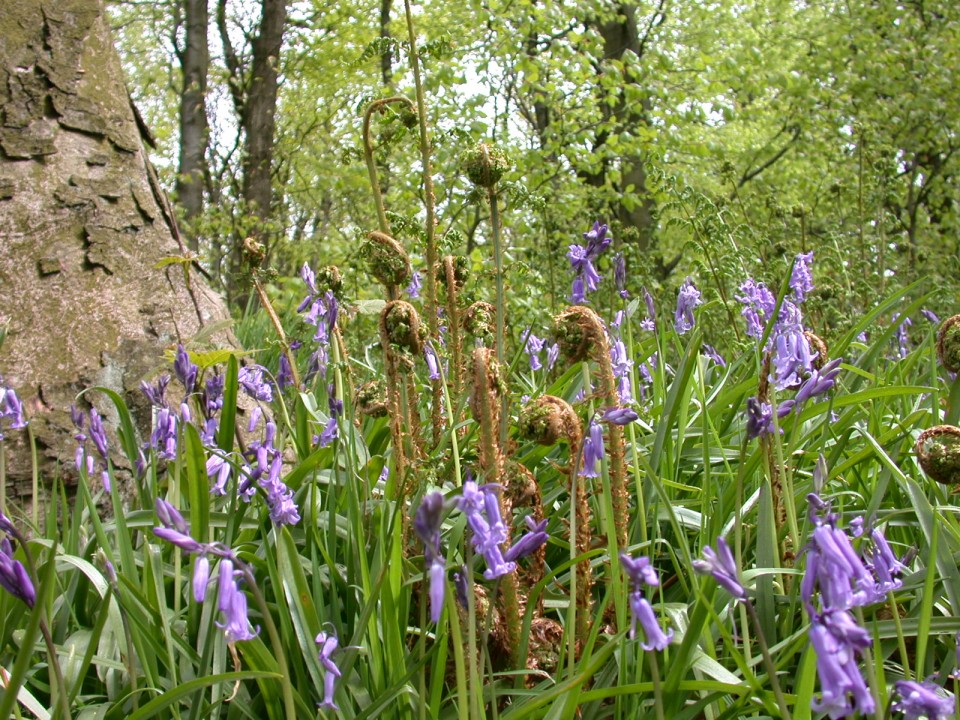
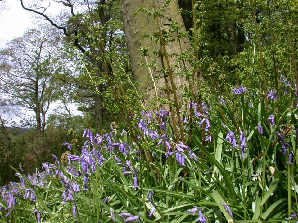
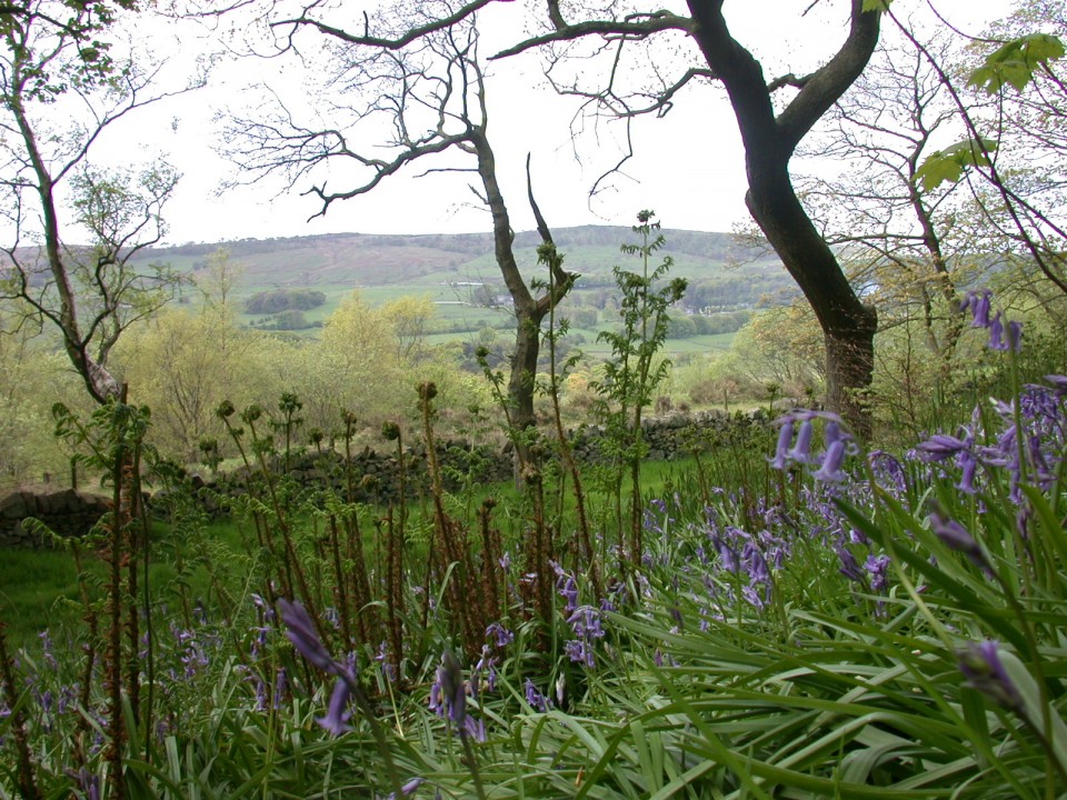
Lynne Noble a member of Buxton Civic Association has produced a brand new guide to the magnificent view from Solomon’s Temple. The 360° panorama is divided into four overlapping sections as you move clockwise round the tower. Points of interest are clearly marked with tips on how to identify them (you don’t need a compass!). Many of the features picked out help to explain the geology of the Peak District and the history of mining and quarrying around Buxton. Some of them are on the far horizon and are only visible on a really clear day. Did you know that you can see Mam Tor and Stanage Edge from Grin Low?

The guide is produced on a single sheet with two sections of the panorama on each side and can be bought flat or rolled. They are on sale at Poole’s Cavern, price £2, ready to make your next visit to Solomon’s Temple much more interesting... and more than just a view.

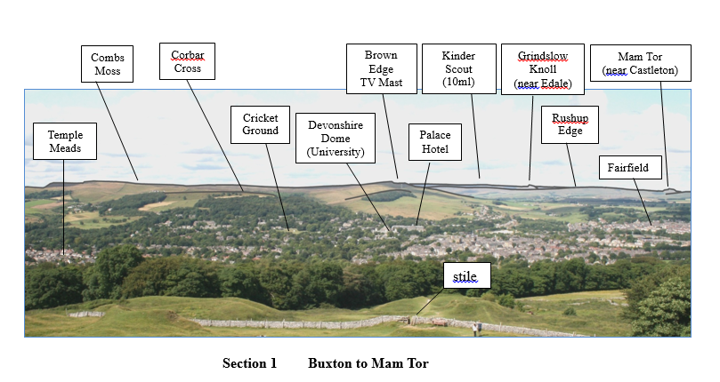
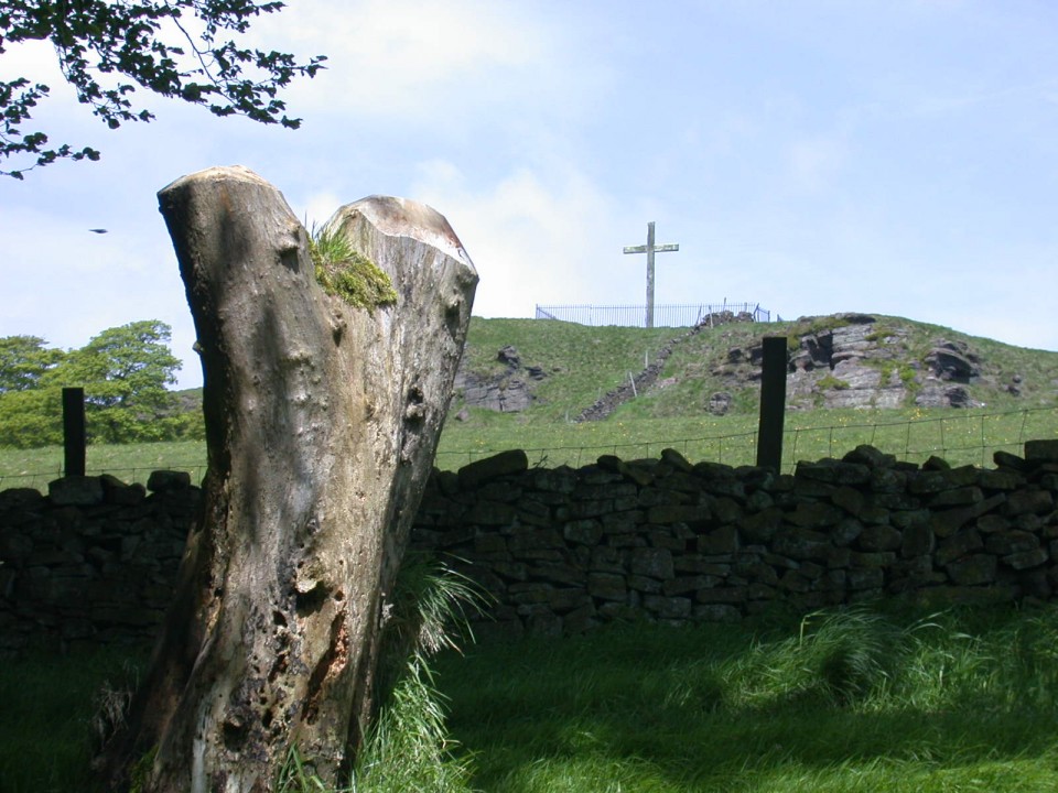
A section of the 360 degree view from Solomon's Temple.

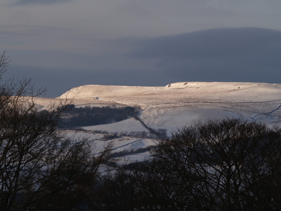
Combs Moss and Kinder Scout are part of the Dark Peak. This is moorland country made of gritstone (course sandstone) and shales often with beds of peat on top. The highest parts of Kinder are about 630 metres (2000 feet) above sea level.
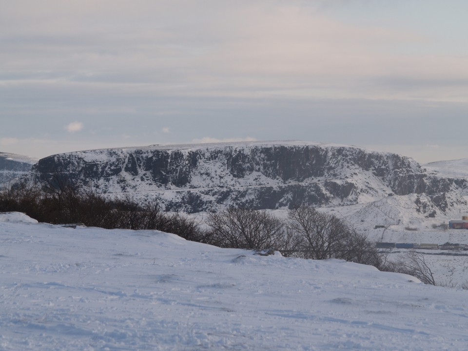
Grin Low is 435 metres (1426 feet) above sea level and is in the White Peak. The light grey walls and rocks around Solomon’s Temple show that this is limestone country.
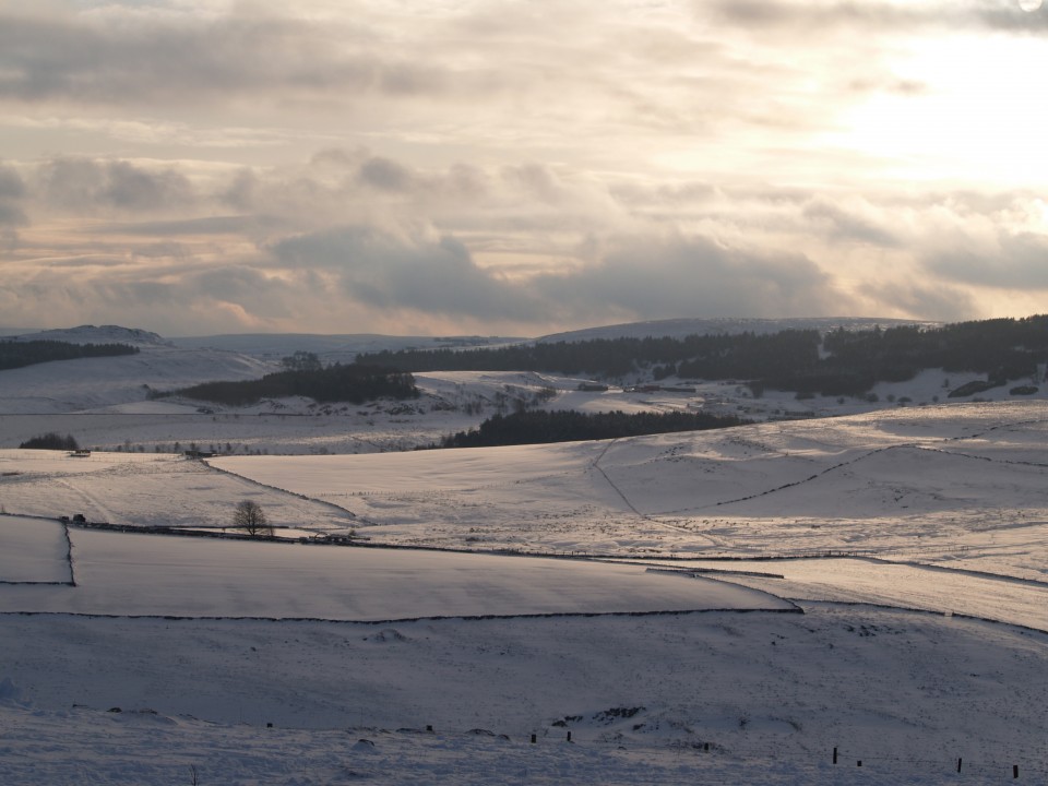
Much of the White Peak is 300 to 400 metres (900 to 1300 feet) above sea level.
Buxton is one of the highest towns in England at 300 metres (nearly 1000 feet) above sea level.

The 360° panorama is divided into four sections as you move clockwise round the tower.

Try to identify the near features first then work back into the distance.
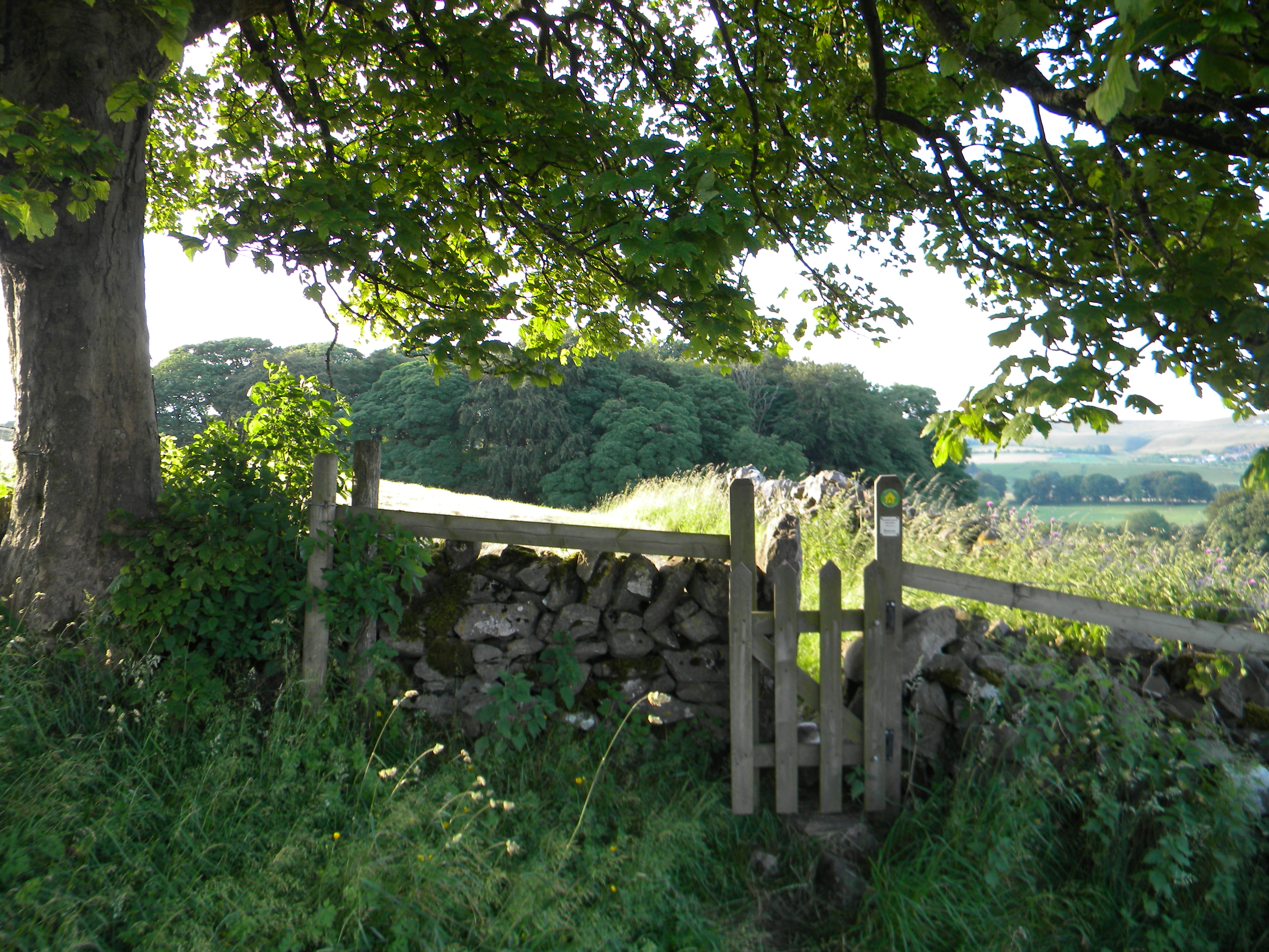
eg look at the stile in the wall on Section 1 then look directly above it and you should see the
Palace Hotel and Brown Edge TV Mast beyond that... easy.

The most distant features need perfect visibility and good eyes.

The right hand edge of each section overlaps with the left edge of the section below

Challenge… Can you spot Mam Tor and Buxton Cricket Ground?

Minninglow Hill on Section 2 is really difficult to spot!! (binoculars are a must for this one)

Vernie the Rottie is reunited after her Adventure

Some quick thinking by a party of visitors out walking near the edge of the woods saw them intervene and stop Vernie the Rottweiler from chasing sheep. They managed to catch Vernie, and attach some string to her collar before bringing her down to the visitors centre at Poole's Cavern. Thirsty after all her running around she proceeded to drink vast quantities of water, and eat handfuls of treats. In the meantime Paula Pickering, who manages the Cafe at the Cavern, thought that she recognised Vernie, so she was taken to Overdale vets where a quick scan revealed that she was chipped. In the meantime Vernie's owners dropped in to the visitor centre looking for her. So they were able to rush down to Overdale vets to be reunited. A happy ending for all concerned.

BCA Members enjoy a guided walk through through the Wild flower glades of Grin Low

A Frog Orchid, one of the many wild flowers that thrive on the lime rich soil in the glades in Grin Low

It was a perfect sunny summers Sunday afternoon, ideal for the guided walk through the wild flower glades of Grin Low, led by June Noble and ably supported by husband Lyn for members of the Buxton Civic Association.

The woodland glade areas in Grin Low, are associated with the 17th & 18th century lime burning industry that used to dominate the hillside. Below each kiln is a wide area where waste limestone ash was tipped. Slowly the lime tips were colonised by Lime loving species of herbaceous plants and grasses such as Northern Marsh Orchid, Burnet Saxifrage, Globe flower, Mountain Everlasting, Creeping willow and Juniper creating a unique habitat which unlike the neighbouring farm land is not grazed or fertilized by animal livestock.

As well as being able to see a wide range of species, June gave members tips on wild flower identification and spoke about the importance of the glades, explaining how the management of the glades by giving them an annual cut using power brush cutters and the cuttings raked and removed from the glade, is vital in preventing the thin soil layer from becoming too enriched and therefore able to support invasive species.

Lyn and June have produced an excellent introductory guide to "The Wild Flowers of Grin Low Country Park" which is available from Poole's Cavern Visitor Centre.

Corbar Woods repairs

These pictures show repairs to paths in Corbar Woods, and damaged trees that need our attention. Repairs to the infrastructure of the woodlands such as paths, fences, dry stone walls and stiles are a major part of our yearly expenditure.
We don't "clear up" all damaged or fallen trees some we leave standing for the local wildlife, if you look carefully you can see woodpecker nests on one of the pictures. Stone for the repair of the paths is often donated by local quarries.

Snow on Solomon’s Temple

Solomon's Temple is a folly which sits above Grin Low woods and can be found by following the main path behind Poole's Cavern Visitor centre. The walk to the Temple takes about half an hour and is dog, child and buggy friendly, very rewarding views across Buxton when you arrive. Are you brave enough to climb to the top??

Buxton’s Woodlands Managed by BCA

Walking through Buxton Country Park

Grin Low (now Buxton Country Park)

Extensive woodland to enjoy including SSSI flower glades, former kiln sites and various routes up to access landmark Solomon’s Temple. For the brave, team-building or just family fun there is Go-Ape tree-top adventure.

Corbar

Buxton’s oldest woodland and the popular Victorian Swiss Walks. This wood features a level path at the bottom of the wood so access is possible for wheelchairs to this area of the wood. A hillside route up to Corbar Cross and fabulous views over the town. Hosts show of beautiful bluebells in springtime.

Gadley

Features: stream and stepping stones, pond, ford former brickyard. Adjacent to the Cavendish golf course.

Sherbrook

A small wooded area adjacent to the lower end of Harpur Hill Road. Note only the northern part of wood is owned by BCA, the southern portion belongs to DCC. Access to the wood is via: a gate at the bottom of Harpur Hill road, a footpath off Trent Avenue next to Harpur Hill School, or from Fern Way.

The main feature of the Wood is stream, though usually dry in the summer months and a wooden bridge over the stream. There is also a small old quarry on the east side of the wood and a badger sett.

Hogshaw Woods

Small haven in residential area, access from 3 corners.

Shay Lodge Plantation

A tiny wood surrounded by farmland accessible only by footpath either from Burbage or through Plex Farm off Bishop’s Lane.

Ashwood Dale

Deep steep sided limestone tree lined gorge, with a river running through.

Access from the sharp bend on Dukes drive, short path to cliff edge to view of Lovers Leap on the opposite side of the gorge.
View of the A6, river Wye and railway goods line.

Keep away from the cliff edges please.